
Weather
Wildfire - Fire Map Info
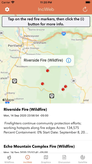
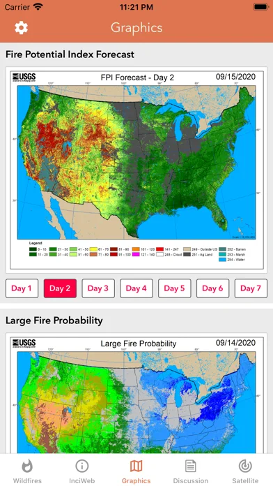
Wildfire layers satellite detections, incident reports and US fire-weather outlooks on maps.
Consider for supplementary fire awareness
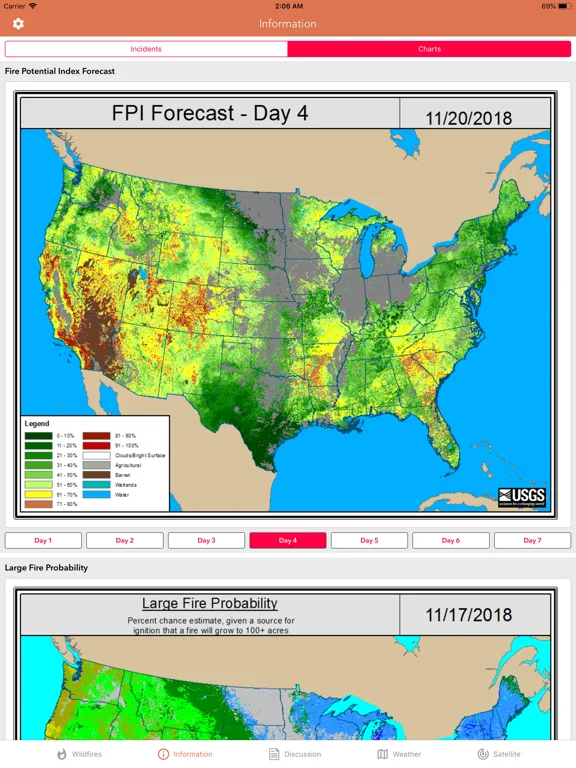
MODIS/VIIRS detections and outlook layers connect several fire indicators.
Keep in mind: Satellite hot spots can lag or misidentify events; this is not an evacuation instruction or guaranteed live warning service.
Inside the app
Official product images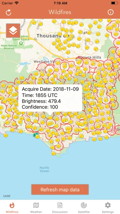
What you can do
- Inspect detected thermal spots
- View incident and fire-weather layers
- Read regional outlook discussions
Good for
- Users exploring US wildfire context
Consider alternatives for
- Users relying on an app alone during an emergency
Limitations & considerations
- Captured minimum: iOS 13.0.
- Satellite hot spots can lag or misidentify events; this is not an evacuation instruction or guaranteed live warning service.
Privacy & permissions
Map/location access can expose viewing areas; check official disclosures and only grant needed location permissions.
Sources & review notes Updated Nov 11, 2026
Reviewed by iApp4Me Editorial Team. Recommendations use the linked documentation and attributed accounts; device observations are identified separately.
- US App Store developer description
Complete description, download price and compatibility metadata captured 2026-11-02.
No comments yet. Be the first to share your experience.