
Weather
Hurricane Tracker Pro
Track maps, development outlooks and buoy/wind layers gather several reported datasets.
Apps observed in Apple’s US App Store charts for Weather.
Showing 101–120 of 375
Track maps, development outlooks and buoy/wind layers gather several reported datasets.
Date filtering and age shading help distinguish newer posts from older ones.

Type and area filters make a large event feed easier to narrow.
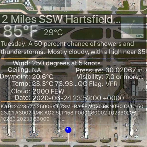
State/table/map station views offer several ways to reach an airport.
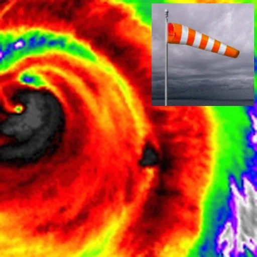
Date/severity lists, category filters and map details support scanning alerts.
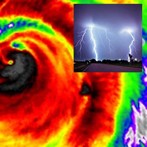
Report selection, radar transparency and flyover views bring several layers together.
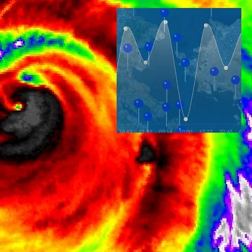
Station selection and radar transparency put several context layers together.

Historical charts help distinguish a single reading from a trend.

Observation age, forecast periods and categorized notices help identify missing or stale inputs.

Saved locations make repeated checks easier.

Saved places help revisit conditions for several locations.

Saved locations and hourly forecasts support routine checks.

Saved locations can keep several areas accessible.
Several household or outdoor readings can be organized by location.

Map-point forecasts and a saved recent forecast reduce repeated searching around a familiar boating area.

Several time points and separate widget styles keep the chosen information visible.

Inversion/cloud-base overlays link a visual chart with an explanation.

A map and distance readout provide context for the nearest detection.
多城市和不同显示方式减少反复打开天气窗口。

Global cloud patterns provide context beyond one city.