
Navigation
TrafficCamNZ
常用摄像头可并排或滑动浏览,也能加入自己的公开图片地址。
Apps observed in Apple’s US App Store charts for Navigation.
Showing 261–280 of 290
常用摄像头可并排或滑动浏览,也能加入自己的公开图片地址。

Layered maps connect recorded tracks with a publisher's trail information.

Route profiles and trail reports help plan a ride.

Curated difficulty information, track recording and public-land overlays support trip preparation.

Multimodal planning and transfer alerts support daily journeys.

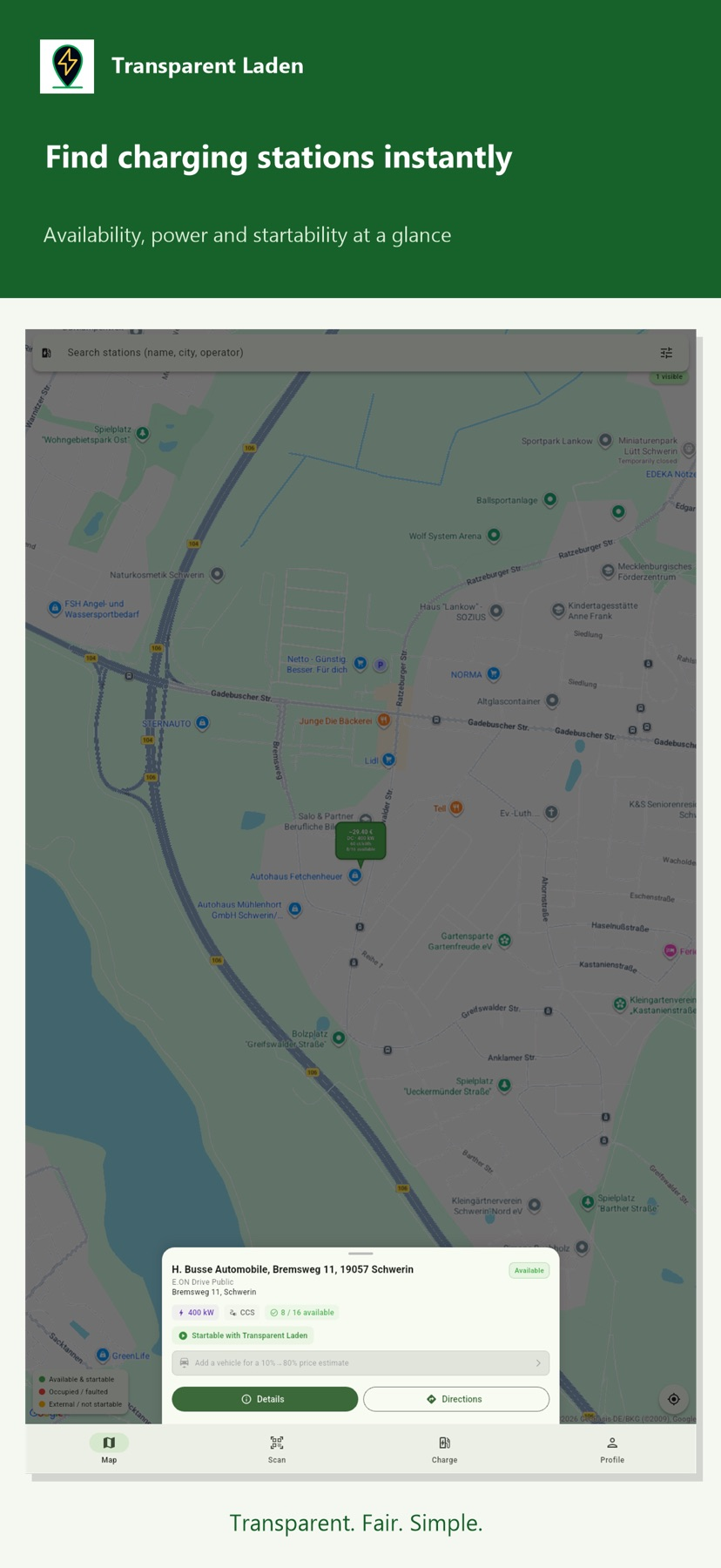
Transparent Laden may suit an EV driver comparing public charging options in a supported area. Its price outlines compare eligible stations in the visible map area; availability and the ability to start through the app are separate. A free download does not include a charging plan, electricity or service costs.

Routes, passes and reservations can share one supported service account.

Offline maps and markups help prepare before losing signal.

Map filters help compare listed security, restroom and access amenities before reserving.

Parking and services can be checked along a route.

Stop information and route planning target commercial drivers.

Vehicle height and weight settings can make planning more relevant than a car-only map.

Saved routes, exit information and alternate map views support repeat travel around London.
GPX exchange and built-in search support use away from a connection.

A larger display mode and zone setting can help when reading coordinates against a map.

Saved fleets and views help revisit activity, while satellite coverage is a separate tier.
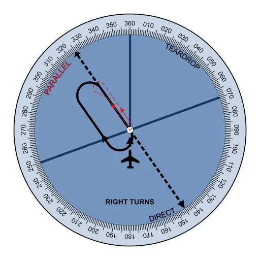
Changing orientation can help discuss geometric entry concepts.

Several route constraints can be inspected together.

GPS can show your position without cellular service, while linked guide entries add information for some places.

Private/shared points of interest support trip planning.