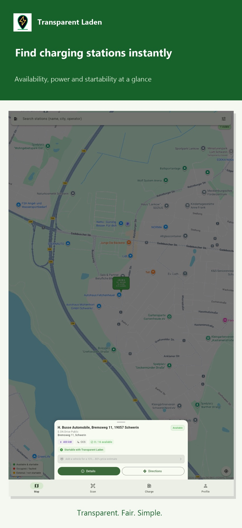
Navigation
Speedometer: MPH Tracker
Several displays and units support different activities.
Apps observed in Apple’s US App Store charts for Navigation.
Showing 241–260 of 290
Several displays and units support different activities.
Large type and selectable units make estimates easier to view.

Package details and route changes can support a delivery day.

Zulu/local/home clocks accompany the calculation tools.

Time/rate comparisons and expense receipts can simplify planned parking.
Coordinate formats and multiple targets support prepared route checks.
An offline map, track review and helpful contact numbers bring lake references together.

Offline schedule display and a widget can make a previously loaded timetable easier to consult.

Linked map markers and panoramas can help orient a virtual visit.

Date and location selection compare seasonal light directions.

Digital receipts connect reward activity with purchases.
Downloaded maps can reduce dependence on mobile coverage for basic routing.
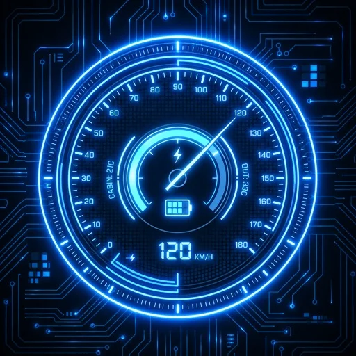
显示速度、电量、功率、胎压等,并提供不同布局和单位。

Geo-tagged images and CSV/KML exports preserve selected readings for later review.
Data-overlay photos and exported markers can keep a visual record connected to a place and project.
Interactive graphs and saved stations combine tide and daylight references.
Waypoints, name searches and coordinate displays add useful references to the scanned-map presentation.

Country map sources, GPX exchange and workout import gather several activity records.
Offline maps and track logs can preserve a route record.

Waypoints and parcel layers can help organize observations.