
Navigation
Rule Master
Offline quizzes and PDF exams support both individual study and instructor preparation.
Apps observed in Apple’s US App Store charts for Navigation.
Showing 221–240 of 290
Offline quizzes and PDF exams support both individual study and instructor preparation.
A globe, terrain views and geographic reference sections offer several ways to explore.

Departure comparisons can highlight changing modeled conditions.
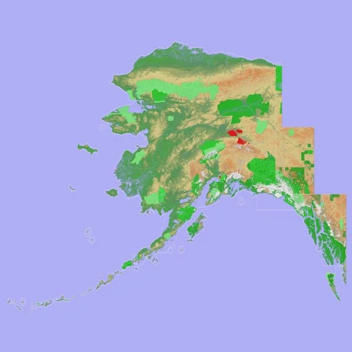
3D views, contour choices and GPX exchange adapt the map to an outing.
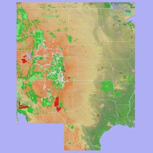
3D terrain views, configurable layers and GPX exchange connect mapping with recorded outings.
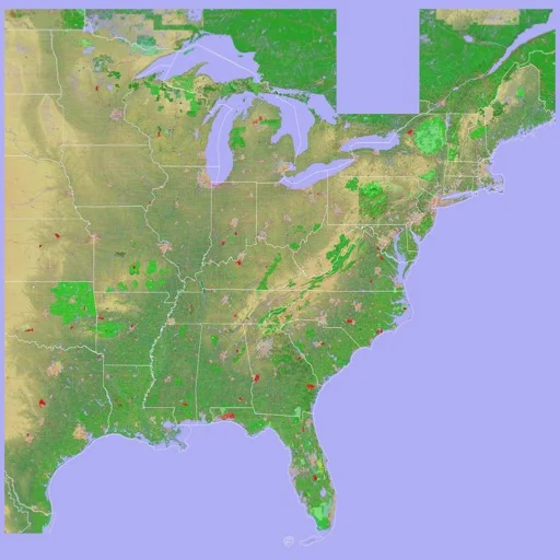
GPX exchange and track replay connect planning with previous outings.
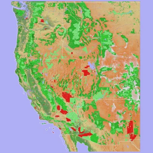
Tilted terrain and GPX interchange help inspect a planned or recorded route.
Offline charts and GPX exchange connect mobile review with compatible chart workflows.

可切换Sentinel、Landsat与部分美国航片,并导出地图叠层。

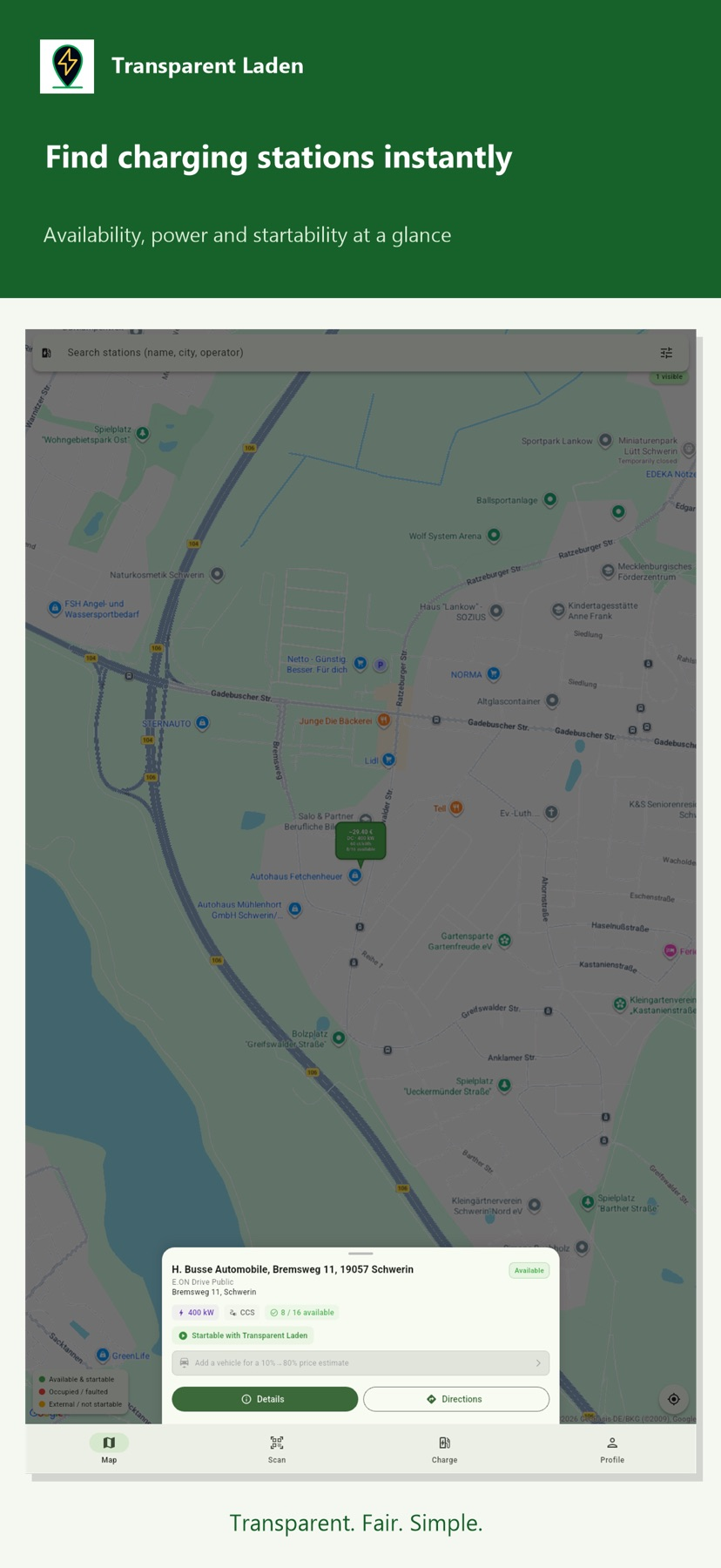
Receipts, loyalty offers and eligible charging controls can share one account.
Ship details and saved ports support recurring interest.
An optional Industry Pack adds project notes, logos and location data exports for larger jobs.

The paid tools combine LiDAR, historical imagery, and hand-drawn routes or notes on a map.
Named trips and CSV/KML/GPX export organize route comparisons.

Voice prompts and Watch notices can reduce screen checking.
Trip history and exports bring distance, duration and altitude observations together.
Preset limits and trip data can support later review.
Route export and categorized reports connect tracking with record keeping.

Free speed and limit controls let you try the readout before subscribing for history, HUD or picture-in-picture.

Selectable units and trip summaries support walking, riding or travel logs.