
Navigation
GoSkyWatch Planetarium
Touchless labels and a red-light display support night viewing.
Apps observed in Apple’s US App Store charts for Navigation.
Showing 101–120 of 290
Touchless labels and a red-light display support night viewing.
Custom properties connect coordinates with notes and, in higher tiers, photos or routes.
Selectable messages and network outputs can reuse a phone's location source.
Named groups and editable points organize repeated location estimates.

A dedicated keyboard and bookmarks reduce repeated transcription.
Grouping tracks and waypoints and exporting standard files help move records into another mapping workflow.
Manual reordering and per-leg estimates let users review optimization choices.
An unavailable-data marker distinguishes missing readings from zero speed.
A recorded route with time and speed views can help inspect a journey without relying only on a momentary speed number.
Folders and waypoint visibility connect several imported routes for review.

Offline search and GPX/KML export help reuse routes beyond one device.
Truck parameters and stop planning address needs beyond ordinary car routes.
GPX/KML interchange supports comparing a recorded trip elsewhere.
Depth contours and imported map layers connect research with saved places.
Spoken reverse-geocoded addresses can reduce repeated screen glances.

Waypoints and place collections connect trip planning with guidance.
Repeating visual scenarios can focus attention on a specific concept before a lesson.
The map history and exports provide ways to review data after a flight.

Downloaded maps and marked locations can support planning.
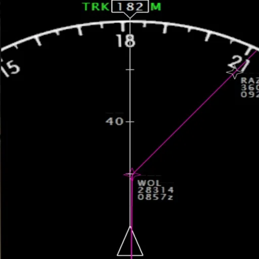
Separate mobile displays can free desktop space for the simulated view.