
Navigation
iHikeGPS : Classic Topo Maps
Explicit offline map lists and GPX, KML or TCX route imports help prepare material before losing connectivity.
Apps observed in Apple’s US App Store charts for Navigation.
Showing 121–140 of 290
Explicit offline map lists and GPX, KML or TCX route imports help prepare material before losing connectivity.

Routes, disruptions and tickets share one regional transport tool.

Widgets and grouped lists reduce the need to find each camera separately.

You can choose an arbitrary pin rather than sharing where you are right now.

Departure and layover times connect a route with forecast timing.

Offline maps, shared markers and file exchange support coordinated field information in one workspace.

Maps, itinerary costs and station details consolidate trip preparation.

Enroute displays, airport maps and briefing-related information serve a specialized professional setup.

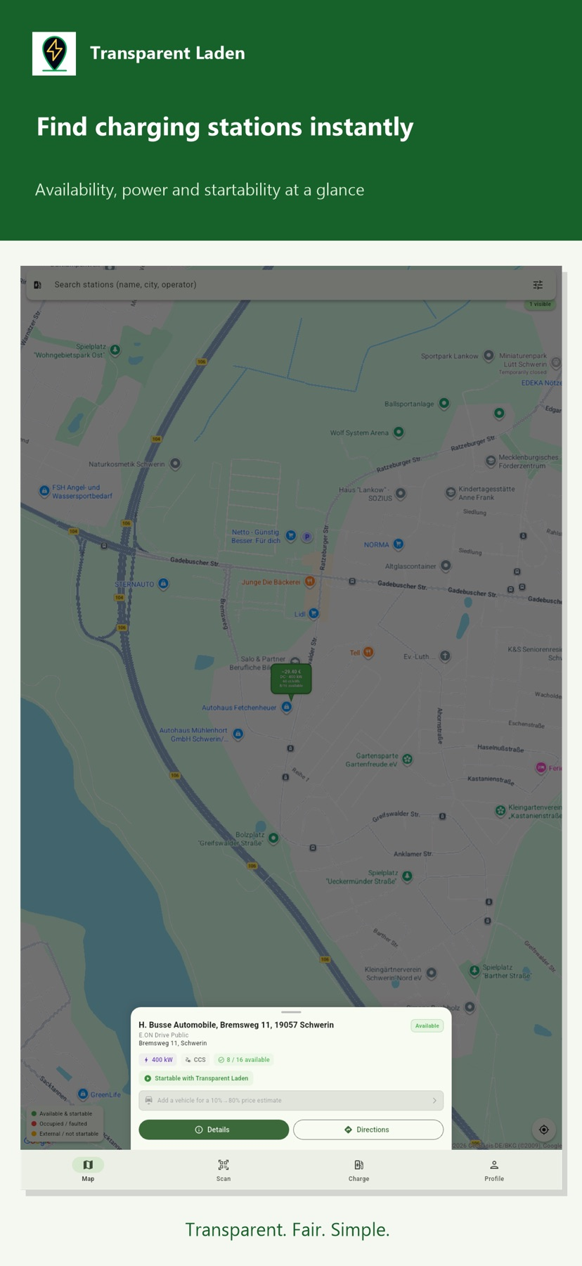
The app shows session pricing before you start and can tell you when charging finishes.
The publisher describes free, ad-free use without an internet connection.

Bus information and grouped favorites support local trip planning.

Station views show entrances and exits, and you can follow alerts for selected lines.

Automatic day/night views and station entrances add context.

Import/export and coordinate formats organize a known set of locations.

One account can organize property observations across supported areas.

Local viewing and optional Dropbox caching help prepare reference material.

Saved vehicles and past trips simplify repeat use.

Track conversion and bundled route files can make a team’s planned route easier to distribute.

Saved places and multiple map layers put historical light data alongside other observing context.

A globe, maps and linked data layers can provide several ways to preview a place.