Navigation
Float LKN
Marina, fuel and launch overlays can organise familiar and custom places.
Apps observed in Apple’s US App Store charts for Navigation.
Showing 81–100 of 290
Marina, fuel and launch overlays can organise familiar and custom places.
Marina, launch and fuel overlays combine with custom places and favorites.

It separates a free camera map and navigation from Pro features such as offline maps and live traffic.

NavLogs, procedures and account synchronization support preparing selected material for offline access.

Related calculation categories can reduce repeated formula lookup during study or preparation.
Offline chart storage, overlays and route records gather several planning tools.
Road snapping speeds drawing while manual correction remains possible.

Map overlays, simulated aircraft tracking and plan import reduce switching away from a cockpit view.

Waypoints and breadcrumbs can organize a planned route.
Saved places and alternative visual styles personalize a route view.
The app can combine an LTE setup with a separately supported Garmin VHF tracking system.

Dash-cam synchronization can collect multiple viewpoints.

Routes, waypoints and collections connect pre-trip planning with offline field navigation.
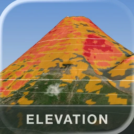
Linked maps/charts and report exports make selected geometry inspectable.
Recent activity and hints give context before visiting a cache.

Templates and layers connect observations with structured geographic records.

Countries, capitals and relief views combine visual browsing with basic reference.

Unit filters connect historical data with map planning.
Favorites and downloadable areas connect browsing with later reference.
Google Maps suits people who want business search, saved destinations and supported navigation modes together rather than managing each part of a trip separately.