
Navigation
Best Biking Roads
Regional search and community comments can reveal roads outside a familiar route.
Apps observed in Apple’s US App Store charts for Navigation.
Showing 21–40 of 290
Regional search and community comments can reveal roads outside a familiar route.

Surface information and multi-stage tours help assess an itinerary.

Search, distance announcements and speech controls support exploring places without relying only on the screen.

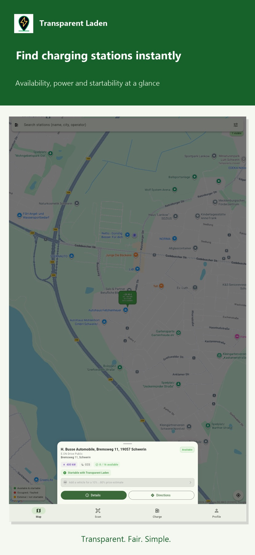
Station details can show connectors, availability and posted fees before a stop.

Custom hazard choices and supported background audio can make reports accessible without continuously watching a map.

Offline imagery, category filters and personal points help organize visits.

Favorite stations and routes support repeated one-way trips.
The app combines coastal AIS feeds, track tools and optional sharing features.

Search and an AR-style view connect nearby observations with available vessel reports.

Profiles and waypoint ETA tools connect vessel movement with likely passages.

Preferences, saved-line alerts and ticket options connect planning with travel.

Search and distance views connect historic sites with practical amenities.

Offline preparation and logging tools support planned field trips.

Custom layers and team maps support preparation.

Map layers combine incident and winter information with camera snapshots.

Templates and uploaded sounds focus on personalization.

Routes, music and vehicle preferences gather common dashboard tasks.

Photos, lyric cards and personalized sounds provide several customization options.
Camera groups and widgets help revisit a route.
可切真彩、SWIR与雷达层,导出带日期比例尺的对比和GeoTIFF。